Geographic Information System
Discover the Geographic Information System (GIS), a powerful tool for capturing, storing, and analyzing spatial data. Learn its history, key components like hardware, software, and data, and how GIS is used in mapping, resource management, environmental monitoring, and urban planning. Understand GIS data models, including raster and vector, and the role of thematic layering in visualizing geospatial information.
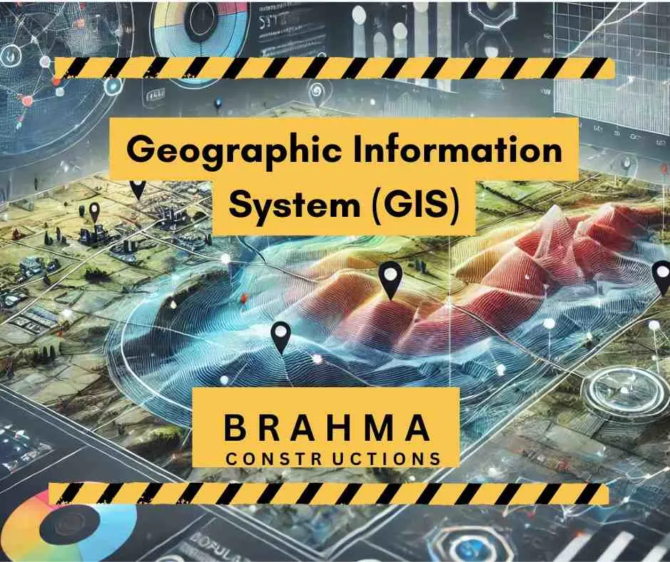
What is a geographic information system (GIS )?
Geography has played a vital role in restoring and developing civilizations from the Stone Age to the modern days. Geographical information in the form of spatial databases has served human society for its advancement. The discoveries, planning for better living, and in fact, modern civilization have achieved much by using the knowledge of abstract geography Geographic Information System (GIS).
Geographical information system (GIS) refers to the system used to define and characterize the earth and other geographical features over it, to analyze spatially referenced information. The information acquired is used to solve real-life problems.
The use of spatial data in real life involves data acquisition, storage, manipulation, maintenance, and output. In earlier days, this has been restricted to analog databases with manual processing and paper maps. Geographic Information System (GIS) has become sophisticated at present time data acquiring methodology from analog to digital systems and introduction of the computers.
This introduction of the digital system with computer interfacing not only saves money and time but also makes GIS accurate to a great extent. The location of important spatial information such as mountains, hills, river flow, etc., accompanied with attributes like their sizes, heights, areas, and velocity of flow simultaneously are collected by manipulation through GIS.
Manipulation of spatial information with attributes (i.e. the specific information of specific objects) can be done with sophisticated computers very easily and more accurately which was beyond imagination in the paper-map age.
Geographic Information System (GIS) handles a variety of software and different types of computers over a server-supported system. The acquired information is stored digitally and analyzed to depict in the form of a map with CAD software.
A. History of Geographical Information System
TheGeographic Information System (GIS) history dates back to 1960 with the introduction of computer-based GIS though the manual procedures were more than 100 years old. In the year 1815, a Cartogram map, with black and white shading to describe the literacy rate in France, was considered the first modern statistical map concerning GIS. In the year 1855, Dr. John Snow of England used a dot map’ to describe the cholera epidemic. In 1884, the Pictogram was used by Georg Mulhall to describe the traffic density in England.
The real advancement in this area came with the innovation of the punch card by Herman Hollerith in 1884 in the USA. In 1944, with the discovery of the first digital computer by H. Aiken and G. Hopper in the USA, Geographic Information System (GIS) got a new dimension. Initial development in computer-based GIS was done by combining spatial data with spatial models and map-based visualization. The first computer-based GIS was invented by Roger Tomilson in Canada to analyze the data of Canada’s land inventory. The modern-day approach to GIS is as follows:
- Use of speed scanner of high-density-area object for coding and decoding purposes,
- Manipulation of scanned images,
- Thematic layering of attributes with spatial information, and
- Use of absolute coordinate system for data sharing options over the world.
In India, GIS has been developed and used since the last 15 years in National Resource Management. Integrated Mission for Sustainable Development (IMSD), National Resource Information System (NRIS) are some leading institutions working in this field.
B. Importance of GIS
Nowadays, GIS is used in public sectors as well as in business, commercial activities and service as a mandatory measure. The technique is adopted to prevent environmental pollution, epidemis and also to take prior measures to combat natural disasters.
Introduction of computer-based Geographic Information System (GIS) saves huge amounts money in functioning of the Government and commercial houses specially in providing services. Providing short routes in establishing linkage mechanisms among the different places and to playing sewer lines in a specific area, considering the object details, can be done very easily by this technique.
The importance of GIS in recent years is to assess the natural resources, food sources in the age of a growing population. Resources in the form of food, shelter, energy can be identified and allocated very precisely by using GIS tools.
C. Definition of GIS
A geographic information system refers to a system of capturing, storing and manipulating spatial information in digital form with the help of computer hardware and software to analyse and present the features of the earth.
There is no specific definition of GIS. People all over the world define GIS according to the purpose of its use. Some of them are as follows:
- A computer-based system for the capture, storage, retrieval analysis, and display of the spatial data, within a particular organization (Stillwell & Clarke, 1987).
- A powerful set of tools for collecting, storing, retrieving at will, transforming, and displaying spatial data from the real world (Burrough, 1987).
- A GIS is defined as (Aronoff, 1989) A computer-based system that provides the following four sets of capabilities to handle geo-referenced data:
(a) Input,
(b) Data management (storage and retrieval),
(c) Manipulation and analysis, and
(d) Output.
The GIS is basically a system by which spatial data in digital form is analysed, manipulated and displayed with the aid of integration of computer software and hardware.
D. GIS Components
A successful GIS operation needs computer hardware, Geographic Information System (GIS) software, spatial data and attributes, people and a well-defined, disciplined methodology of operation. An integration of all five components simultaneously develops a GIS.
- GIS Hardware
The hardware in GIS means a computer having large memory space for acquiring databases with highly sophisticated displaying facility. In Geographic Information System (GIS), small PCs to large computers are used depending upon the nature of the job. For most cases for combination of different data references, more than one computer is used. The computers are connected to a common server during operation.
- GIS Software
The GIS software is used to collect, analyze, and display spatial information. Software plays a key role in manipulation in the case of data collected in different scales and projections. In the case of retrieval of data structure by using attributes with spatial information, the selection of software is very important. For handling spatial information other than geographic features, the use of CAD software is very popular. ArcGIS is software which is commonly used in environmental reaches.
- Data
Data is the backbone of GIS. The spatial data and tabular data are combined to form a data structure for GIS. Actually, there are two types of data in a Geographic Information System (GIS). One is spatial data collected from satellite monitoring, photogrammetry or other similar types of linkage in the form of digital imaging system. The other type of data is attributes to spatial information, mostly of measurement related to the existing database.
- People
The success of a Geographic Information System (GIS) is judged by the end users. Some of the users are interested to use its technical aspects, and a respectable number of people use it for solving their real-life problems. The co-relations between professional GIS end users are very important for successful implementation of a GIS.
- Methodology
The comprehensive approach is essential for implementation of Geographic Information System (GIS) for the people at large. So, the well-defined methodology with an integrated approach in GIS is required. Hiring of correct hardware and software for different types of GIS and extracting data appropriately for the purpose is an important part of this methodology.
E. Monitoring, Measurement, Mapping, and Modelling in GIS
These are commonly known as the four Ms of GIS. In Geographic Information System (GIS), generally the environmental parameters in the form of spatial information and their attributes are measured, to develop a map by drawing each character using CAD, monitor changes taking place with reference to surroundings and time and also develop some model for operational purposes.
- Representation of Geospatial Data
The geospatial object is represented in the form of either a point, line or a polygon in grid pattern or in vector form.
(a) Point represents a spatial object having no area only concerning a certain coordinate system, ie, latitude, longitude, etc.
(b) Line represents the spatial object with no width and located from any one side.
(c) Polygon represents spatial information of a closed area.
- Modelling of Data
Data modeling refers to the computerization of different spatial objects as per real-world discrimination or differences. There are two types of models in data structuring:
(a) Raster Model In this model, a number of cells having definite coordinates are used. Each cell is used to represent an attribute. Each cell forms a single layer. The raster model requires huge volume of data for storage.
(b) Vector Model Representation of objects in this model is either in point or line form, with a definite coordinate (xy) system.
- Layering of Data
The spatial information and attributes refer to geographical features of different objects on the earth’s surface like rivers, forests, roads, etc. Each such object is collected and stored in Geographic Information System (GIS) by layer form, for their discrimination. This layer concept is also taken into account by different models available in GIS. The storage of huge volumes of such data is combined by superimposing to form a single layer. This practice of data storage is called thematic layering.
Global Positioning System (GPS)
Learn how the Global Positioning System (GPS) works, including its components—space, control, and user segments—and how satellites, signals, and receivers collaborate to pinpoint precise locations. Explore GPS applications in navigation, cartography, mineral exploration, and more, along with insights into signal transmission, navigation messages, and system accuracy.
How Civil Engineer Earn money in India
Civil engineering is a multifaceted field that offers professionals various avenues to earn income. From traditional employment to entrepreneurial ventures, civil engineers can leverage their skills and expertise in diverse ways. In this post, we’ll explore the different income streams available to civil engineers, providing insights into each category.

Hi, I’m Sanskar Shinde — a civil engineer, blogger, and construction enthusiast. With 3 years of experience in the field, I love sharing real-world tips, project ideas, and practical knowledge through my blog, Brahma Constructions.
Hello,
My name is Komal, and I’m reaching out on behalf of our digital marketing agency. We work with over 100+ websites and specialize in B2B guest posting services.
We are interested in a paid guest posting collaboration with your websites. We’d like to know your pricing and terms for publishing guest posts, and in return, we can also feature your websites within our network — creating a mutually beneficial partnership.
Looking forward to your response and hoping to build a long term collaboration.
Thanks,
Komal
Hello,
I hope this message finds you well. I wanted to reach out and offer you the opportunity for guest posting and press release distribution services that help brands expand their reach, improve search engine visibility, and build credibility through a broad publishing network.
CoinPR Wire manages a robust network of 300+ high-authority websites, offering strategic opportunities for brand exposure across a wide range of industries.
If you’re interested in amplifying your reach through trusted platforms, we’d be happy to provide details about the website list, submission guidelines, pricing, and publishing process.
For more details, visit: https://www.coinprwire.com/packages
Looking forward to the opportunity to collaborate.
Thank you,
Raeesa