Table of Contents
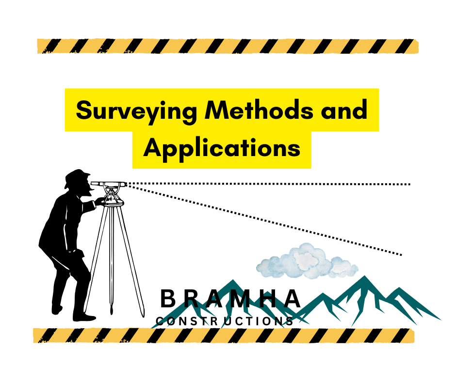
Surveying Methods and Applications
This guide introduces essential surveying techniques for measuring distances, heights, and creating maps. It covers key types of surveying and methods for linear measurement, providing a foundation for understanding the principles and applications used in mapping and engineering projects Surveying Methods and Applications.
Definition :-
Surveying is the technique of establishing the relative locations of various objects on the Earth’s surface by measuring the horizontal distances between them and creating a map to an appropriate scale. Therefore, in this field, the measurements are confined to the horizontal plane. Surveying Methods and Applications.
Levelling is the skill of measuring the relative vertical heights of various points on the Earth’s surface. Hence, in levelling, the readings are taken solely in the vertical plane.
Object of Surveying :-
The purpose of surveying is to create a map that represents the relative locations of objects on the Earth’s surface. This map is prepared to an appropriate scale and depicts natural features of a region, such as towns, villages, roads, railways, rivers, and more. Additionally, maps may also illustrate details of various engineering projects, like roads, railways, and irrigation canals, Surveying Methods and Applications.
Uses of Surveying :-
Surveying may be used for the following various applications.
1. To create a topographical map that displays the hills, valleys, rivers, villages, towns, forests, and other features of a region.
2. To develop a cadastral map that defines the boundaries of fields, houses, and other properties.
3. To produce an engineering map illustrating the details of infrastructure projects, such as roads, railways, reservoirs, and irrigation canals, Surveying Methods and Applications.
4. To design a military map depicting the road and railway networks connecting various parts of a country, along with strategic points crucial for national defense.
5. To generate a contour map for determining the storage capacity of a reservoir and identifying optimal routes for roads, railways, and similar projects.
6. To construct a geological map highlighting regions containing underground resources.
7. To draft an archaeological map marking locations of ancient relics and historical sites.
Classification of Surveying
A. Primary Classification
Surveying is primarily classified as under
- Plane surveying
- Geodetic surveying
1. Plane surveying
We know that the shape of the earth is spheroidal. Thus, the surface is obviously curved. But in plane surveying, the curvature of the earth is not taken imao consideration. This is because plane surveying is carried out over a small area So, the surface of the earth is considered plane In such surveying, a line joining any two points is considered straight, Surveying Methods and Applications.
The triangle formed by any three points is considered a plane triangle and the angles of the triangle are assumed to be plane angles. Plane surveying is carried out by state organizations such as the Irrigation Department, Railway Department, and others. This type of surveying is conducted over an area smaller than 250 km², Surveying Methods and Applications.
2. Geodetic Surveying
In geodetic surveying, the Earth’s curvature is accounted for. It covers a large area, where the line connecting any two points is treated as a curved line. The triangle formed by any three points is considered spherical, and the angles are adjusted accordingly of the triangle are assumed to be spherical angles, Surveying Methods and Applications.
Geodetic surveying is conducted by the Survey of India department, and is carried out over an area exceeding 250 km².
B. Secondary Classification
1. Based on instruments
- Chain surveying,
- Compass surveying.
- Plane table surveying,
- Theodolite surveying.
- Tacheometric surveying, and
- Photographic surveying.
2. Based on methods
- Triangulation surveying, and
- Traverse surveying
3. Based on objects
- Geological surveying,
- Mine surveying,
- Archaeological surveying, and
- Military surveying.
4. Based on nature of field
- Land surveying,
- Marine surveying, and
- Astronomical surveying
Again, land surveying is divided into the following classes:
1. Topographical surveying, which is done to determine the natural features of a country
2. Cadastral surveying, which is conducted in order to determine the boundaries of fields, estates, houses, etc.
3. City surveying, which is conducted to map the locations of premises, streets, water supply systems, sanitation systems, and more.
4. City surveying, which is conducted to map the locations of buildings, streets, water supply systems, sanitation systems, and other urban infrastructure, Surveying Methods and Applications.
General Principle of Surveying
The general principles of surveying are given below:
- To proceed from the general to the specific, and
- To establish a new station using at least two measurements (linear or angular) from known reference points.
1. According to the first principle,
The whole area is initially surrounded by main stations (i.e., control points) and primary survey lines (i.e., controlling lines).(i.e., controlling lines). The area is subsequently divided into several sections by creating well-conditioned triangles. An almost equilateral triangle is regarded as the ideal well-conditioned triangle. The primary survey lines are measured with great accuracy using a standard chain, Surveying Methods and Applications.
Afterward, the sides of the triangles are measured. The objective of this method is to minimize the accumulation of errors. If any error occurs in measuring a side of a triangle during this process, it will not impact the entire work. Such errors can always be identified and corrected.
However, if the reverse process (i.e., from the part to the whole) is followed, minor measurement errors will be amplified during the expansion, eventually reaching a point where these errors become completely uncontrollable.
2. According to the second principle,
New stations must always be established using at least two measurements (either linear or angular) from fixed reference points. Linear measurements involve horizontal distances measured with a chain or tape, while angular measurements consist of the magnetic bearing or horizontal angle taken with a prismatic compass or theodolite, Surveying Methods and Applications.
In chain surveying, the locations of main stations and the orientations of main survey lines are established using tie lines and check lines.
Methods of Linear Measurement
1. By Pacing or Stepping
For quick and approximate work, distances are measured by pacing, which involves counting a person’s walking steps. A man’s walking step is typically considered to be 2.5 feet or 80 cm. This method is commonly used in reconnaissance surveys Of any project, Surveying Methods and Applications.
2. By Passometer
A small instrument, similar to a stopwatch, called a Passometer is used to automatically count the number of steps through a mechanical device. It provides an advantage over the standard pacing method when measuring long distances, especially when it becomes tiring to count steps manually and difficult to keep track of the number of steps, Surveying Methods and Applications.
3. By Speedometer
This is used in automobiles to record distances traveled.
4. By Perambulator
It is a wheel attached to a fork and handle. The wheel is graduated to indicate the distance per revolution, and there is a dial that records the number of revolutions. In this way, the total distance can be determined.
5. By Chaining
This is a precise and widely used method for measuring distance. In this approach, the distances are directly measured in the field using a chain or tape. The various types of chains and tapes are described later, as is the method of chaining.
Read MoreMaterials used Preparing Formwork
This content provides an overview of the materials commonly used in formwork preparation. Formwork is a temporary structure that supports fresh concrete until it hardens and can sustain its load independently. The description covers the most frequently utilized materials, highlighting their applications, advantages, limitations, and specific use cases in construction projects.
How to Use a Theodolite? (Complete Guide) For Civil
Theodolite is one of the most essential surveying instruments widely used in civil engineering and construction projects. It is primarily used to measure horizontal and vertical angles with high precision. This blog post is a complete guide on how to use a theodolite effectively.

Hi, I’m Sanskar Shinde — a civil engineer, blogger, and construction enthusiast. With 3 years of experience in the field, I love sharing real-world tips, project ideas, and practical knowledge through my blog, Brahma Constructions.