Table of Contents
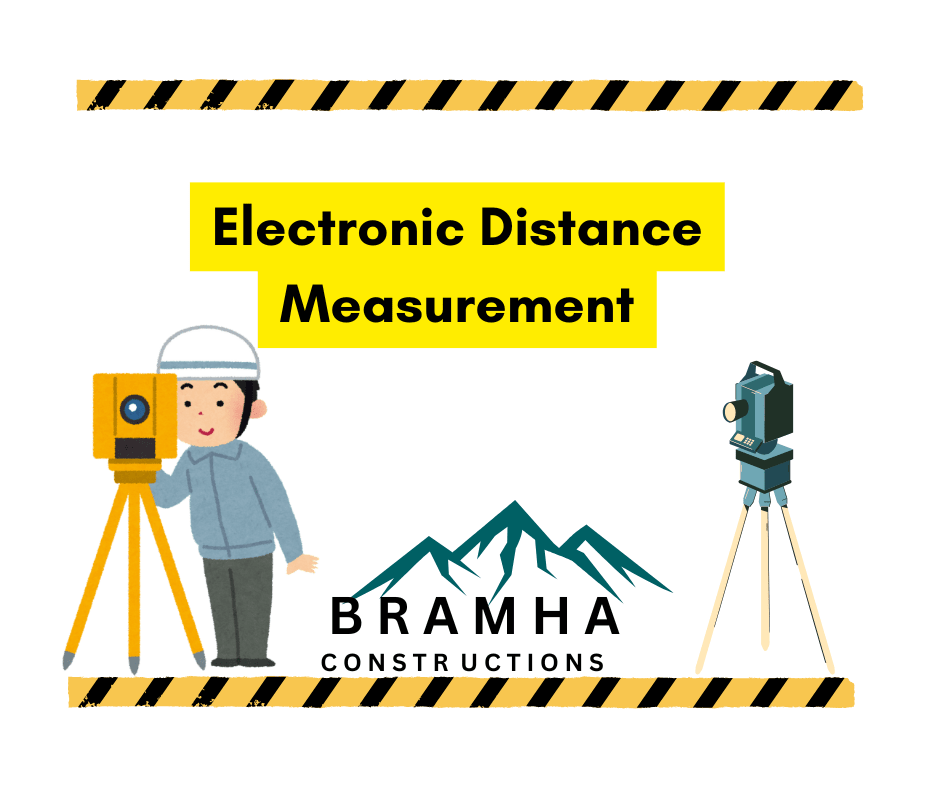
Electronic Distance Measurement (EDM)
Electronic Distance Measurement (EDM) is a modern surveying technique that uses electromagnetic waves to measure distances accurately and efficiently. It employs instruments like Total Stations, which use light or microwaves, and reflective prisms to calculate distances. EDM data is highly precise and can be processed with tools like AutoCAD.
Q. What is EDM in survey?
In surveying, accurate distance measurement is always the most challenging part. The introduction of Electronic Distance Measurement (EDM) has made the task of measuring even a long distance with high-level accuracy a simple operation Electronic Distance Measurement.
In 1926, Michelson determined the velocity of light as 299796 km/s by measuring the time taken for light to travel between two concave mirror systems.
In this experiment, an eight-sided rotating drum was set as the principal focus of one system. The drum rotated until a steady image of the source of light was seen in an eyepiece, and it occurred at 528 revolutions per second, thereby, implying a travel time of 1/4224 s. This method of distance measurement, by a rotating drum, was dishonored due to mechanical considerations Electronic Distance Measurement.
In 1950, scientists tried to measure the distance by using light to travel over an unknown distance with measured time. As the velocity of light is 186000 miles/ second, the time taken will be very small, especially for covering a small distance.
So the idea of using an ordinary light beam for this purpose directly failed.
In 1960, ultimately scientists succeeded in finding a low-velocity light beam in the form of infrared rays generated by ‘Solid State Gallium Arsenide Diode (GAD), Afterwards, by using this technology, the instrument called Electronic Distance Measurement came into existence. Initially, the cost of the instrument was too high but now it is being lowered for easy use for the professionals in this field Electronic Distance Measurement.
A. Classification of EDM
There are two types of EDMs, in the market:
1. Electro-optical Instruments
This instrument uses light having wavelengths in the range of 0.7 to 1.2 micro-metre within or slightly beyond the visible range of the spectrum. Due to this shorter wavelength, the application of such instruments in dense fog or haze is not possible. The instrument comprises, Electronic Distance Measurement
- a light source producing visible light by using a tungsten lamp, xenon flash tube, or laser light,
- a photomultiplier and phase meter,
- a read-out unit. Additionally, a retro-directive prism at the remote station is needed for measuring distances Electronic Distance Measurement.
2. Microwave Instrument
This instrument transmits microwaves with frequencies ranging from 3 to 35 GHz corresponding to wavelengths of about 1.0 to 8.6 millimetre. Due to this higher wavelength, the penetration capacity of the light beam is sufficient to work in difficult climatic conditions. Here, the master is set up at one end of the distance to be measured and the remote is established at the other end, Electronic Distance Measurement.
An operator is required at each, and inter-communication is possible by an in-built radiotelephone. A modulated signal is generated by the master, received by the remote, and transmitted back to the master. The phase difference between emitted and reflected signals is measured at the master and displayed at the required distance in meters Electronic Distance Measurement.
The most common type of electronic distance measurement instrument available in the market is popularly known as Total Station. This incorporates a theodolite with electronic circles and an EDM. The EDM normally works concentric with the telescope eyepiece and is generally housed in a casing that forms a part of the telescope.
B. Principle of Functioning
Electromagnetic energy propagates through the atmosphere by the following equation:
v=f x λ
where,
v = velocity of electromagnetic energy (in meters)
f = modulated frequency of energy (in hertz)
λ = wavelength (in meters)
This propagation can be represented by the sinusoidal curve in one wavelength or cycle. The position or points along the wavelength are given by phase angle.
An EDM measures distances by determining the number of full and partial wavelengths between the object and the instrument. This results in a two-way distance Electronic Distance Measurement.
A partial wavelength is determined by the phase shift of the returning wave, compared to the emitted one.
Measurement of Distances
An EDM can be used to place objects or points in three dimensions of the unit. The EDM emits a beam of infrared light, modulated at a controlled rate. During operation, the light beam is sent from the EDM, reflected off a prism or target positioned at the point to be mapped, and returned to the EDM Electronic Distance Measurement.
The returning beam undergoes a phase shift relative to the emitted beam. This phase shift corresponds to the travel time of the light beam and is used to calculate the distance traveled by the light.
The comparison of returning and emitted signals gives the distance between the unit and target with an accuracy of approximately 1/8 inch in 4 miles. An EDM can also measure the azimuth and height of an object by using the same principle of physics.
The data obtained from the EDM is stored in a data collector and finally downloaded for processing using computer drawing software (AUTO-CAD).
Accessories For Linear Measurements
Q. What are the accessories for linear measurements in surveying?
1. Ranging Rods
Rods that are used for ranging (i.e., the process of making a line straight) a line are known as ranging rods. Such rods are made of seasoned timber or seasoned bamboo. Sometimes, GI pipes with a 25 mm diameter are also used as ranging rods.
These rods are typically circular in cross-section, with a diameter of 25 mm and a length of 2 m. Occasionally, wooden ranging rods have a square cross-section. The rod is marked with equal divisions of 20 cm, painted alternately in black and white or red and white for better visibility over long distances. The lower end of the rod is pointed or fitted with an iron shoe for ease of use Electronic Distance Measurement.
2. Chains
A chain is constructed with 100 or 150 pieces of galvanized mild steel wire, each having a diameter of 4 mm. The ends of these pieces are bent into loops and connected using three oval rings, giving the chain flexibility. Two brass handles are attached at either end of the chain for ease of handling. Tallies are placed every 10 or 25 links to aid in counting. “One link” refers to the distance between the centers of adjacent middle rings Electronic Distance Measurement.
Q. What is types of chain in surveying?
The following are the different types of chains:
- Metric chain,
- Steel band,
- Engineers’ chain,
- Gunter’s chain, and
- Revenue chain.
1. Metric Chain
Metric chains come in lengths of 20 m and 30 m.- The 20 m chain consists of 100 links, each measuring 0.2 m.- Tallies are placed at every 10 links (2 m) to assist in counting.- This chain is well-suited for measuring distances on relatively level ground. The tallies are designed such that The central tally is round.
The other tallies have one, two, three, or four teeth. Each tally’s teeth can correspond to two different readings when viewed from opposite ends of the chain. Therefore, during measurements, the surveyor must be mindful of the central tally’s position to avoid confusion Electronic Distance Measurement.
As per ISI recommendations, tallies should be provided after every 5 m and brass rings after every 1 m.
The 30-meter chain is split into 150 links. Thus, each link measures 0.2 meters. Tallies are placed every 25 links (5 meters). A round brass ring is attached after every meter. This chain is sturdy and suitable for measuring distances on relatively level terrain. The central tally here has three prongs Electronic Distance Measurement.
2. Steel Band:
It comprises a steel ribbon with a width of 16 mm and a length of either 20 or 30 meters. Each end is equipped with a brass handle. It is graduated in meters and decimeters on one side, and in centimeters with 0.2-meter links on the other. The steel band is commonly utilized in projects demanding higher precision.
3. Engineers’ Chain:
The engineer’s chain is 100 feet long and divided into 100 links, making each link 1 foot. Tallies are placed every 10 links (10 feet), with the central tally being circular. These chains were traditionally used for all types of engineering works.
4. Gunter’s Chain
It is 66 ft long and divided into 100 links. So, each link is of 0.66 ft. It was previously used for measuring distances in miles and furlongs Electronic Distance Measurement.
5. Revenue Chain:
The revenue chain is 33 feet long and split into 16 links. It is primarily used for cadastral surveys.
Q. What are the advantages of chaining?
Chains have the following advantages:
- They can be interpreted effortlessly and rapidly.
- They can withstand wear and tear.
- They can be conveniently repaired or corrected on-site.
Q. What are the disadvantages of chaining?
They have the following disadvantages:
- They are bulky and require a lot of time to unfold or fold back.
- They stretch or shrink with prolonged use.
- When measuring in suspension, the chain droops excessively.
Q. What are the advantages of Steel bands?
Steel bands have the following advantages:
- They are lightweight and simple to unfold or fold.
- They maintain their standard length even after continuous use.
- When measuring in suspension, they droop slightly.
Q. What are the disadvantages of Steel bands?
They have the following disadvantages:
- If handled carelessly, they break easily.
- They cannot be fixed on-site.
- They cannot be read easily.
3. Tapes
Q. What is types of chain in surveying?
The following are the different types of tapes:
- Cloth or linen tape,
- Metal tape
- Steel tape,
- Invar tape
1. Cloth or Linen Tape:
This tape is crafted from tightly woven linen and coated with varnish to protect against moisture. It is 15 mm wide and comes in lengths of 10 and 15 meters. Typically, it is used for measuring offsets and general tasks.
2. Metallic Tape:
Linen tape reinforced with brass or copper wires for added durability is called metallic tape. It is available in lengths of 15, 20, and 30 meters, wound around a leather case with a brass handle. It is commonly used for various surveying tasks.
3. Steel Tape:
Made from a steel ribbon, this tape varies in width from 6 to 16 mm. The standard lengths are 10, 15, 20, 30, and 50 meters. It is graduated in meters, decimeters, and centimeters. It is mainly used for standardizing chains and for measurements in construction, not typically for field use.
4. Invar Tape:
This tape is made of an alloy consisting of 64% steel and 36% nickel. Its low thermal coefficient means it is unaffected by temperature changes. It is available in 6 mm wide ribbons in lengths of 30, 50, and 100 meters. Used in situations requiring high precision, it is commonly used in triangulation surveys conducted by the Survey of India department.
4. Arrows
Arrows are constructed from tempered steel wire with a 4 mm diameter. One end is shaped into a 50 mm diameter ring, while the other end is pointed. The total length of the arrow is 400 mm. Arrows are used for tallying the number of chains during chain line measurement.
Surveying Methods and Applications
This guide introduces essential surveying techniques for measuring distances, heights, and creating maps. It covers key types of surveying and methods for linear measurement, providing a foundation for understanding the principles and applications used in mapping and engineering projects Surveying Methods and Applications.
How to Use a Theodolite? (Complete Guide) For Civil
Theodolite is one of the most essential surveying instruments widely used in civil engineering and construction projects. It is primarily used to measure horizontal and vertical angles with high precision. This blog post is a complete guide on how to use a theodolite effectively.

Hi, I’m Sanskar Shinde — a civil engineer, blogger, and construction enthusiast. With 3 years of experience in the field, I love sharing real-world tips, project ideas, and practical knowledge through my blog, Brahma Constructions.